Croom hike
Seems like I just can’t get enough of the great outdoors these days.
After last month’s hike at Hillsborough River State Park I immediately looked for another hike, and the Croom trails at Withlacoochee State Forest seemed not only inviting but challenging as well. The website tells of elevation changes, even though most of Florida is pretty much flat like a pancake. According to the map our hiking route was about 7 miles long.
At 8:30 a.m. Dianna and I set off on our adventure dubbed “Let’s get lost”. We started heading north on the A loop right off the main trailhead. Did you know that the Florida Trail runs through all of Florida? You can literally walk the entire state!
Even though the trail is pretty clearly laid out, the orange blazes on the trees are great orientation markers.
Looks like a great running trail, and in fact, several trail races are held here each year!
Aside from lots of smooth single tracks we also encountered quite a bit of sugar sand. At around the half way mark we climbed up a small hill and found ourselves on top of the lookout point:
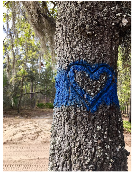
Looking at the map I knew that we had about a mile left to go before we’d have to turn onto the cross trail that would take us back to the parking lot. According to the map the trail markings would turn from orange to blue.
However, when we arrived at a cross section where blue intersected orange we had only hiked four miles, and according to the map it was supposed to be 4.21. We figured that maybe the distances weren’t 100% accurate from where we had started, and clearly we had arrived at the blue trail, so we decided to turn right and continue. The terrain changed. We went from a packed single track onto a double track with horse tracks & poop on deep sugar sand. Whoa, it just got hard! Fine, we thought, surely that would change.
Then, we reached another elevated spot where we stopped to take pictures.
Looking ahead the blue blazes on the trees told us where to go, but Dianna realized that instead of heading west (where we should be going) we were indeed heading south/southeast. Thank God for that girl knowing her directions! We stopped to study the map. The trail clearly was going east/west yet the blazes on the trees lead south. I pulled out my phone and opened the compass, and she was right – if we would follow the blazes we would not go in the right direction. It took us a few minutes, but going back and forth over the map we realized that we had left the orange trail too soon, and that we were on one of the horse trails. The challenge was to figure out how to get back to the blue cross trail that we were supposed to be on. Dianna spotted a directional marker on another tree that spelled out “FR-4”, and once she found it on the map she figured that all we needed to do was to continue east until we’d hit the blue A-B connector. And after about 0.75 miles we did!!!
Not only were we relieved to be back on track, we were also quite happy that the deep sand was now behind us!
We found flowers,
…..and fall colored leaves…….
…..and….baby pine trees!
And eventually, after 8.4 miles, we arrived back at the trail head still smiling. And if you’re wondering if I’ll do it again then the answer is a clear yes!


Comments
Post a Comment